|
|
|
|
|
Acton
is on top of the Niagara Escarpment and surrounded by nature - it is within
the Ontario Greenbelt area. You can find many great areas of nature within
walking distance of the Town.
We will explore the areas along the Black Creek (a tributary of the Credit River) and along an old railway spur line (tracks long removed) that used to serve the old Beardmore Leather Tannery property (long since closed with the buildings demolished).
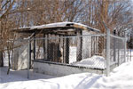
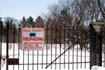
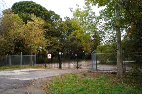
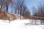
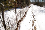
Our walk starts on Agnes Street just east of Highway 25. A parking lot follows along the fenceline of the old Beardmore Tannery Factory property. The old gatehouses (A) are all that remain as sentinels to the past glory that was the tannery - the largest in the British Kingdom (built 1865 and closed in 1986). To the west of the guardhouses is a water treatment pond that I told the kids was home to alligators from the reign of the King of Acton many hundreds of years before.
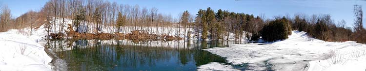
The guardhouses have been removed in late summer of 2008. We continue easterly towards Frederick Street on a path that used to hold the railway spur line off the main CN Railway (former Grand Trunk Railway). This spur served the Beardmore Tannery and when it was built the leather storage maintained at the Old Hide House location was no longer required. The pathway splits at this point (B) where you can follow the old spur line path to the east (R) or head south along the Black Creek (C), a tributary of the Credit River, where the Region of Halton maintains an underground sewage line (D) leading to the treatment plant (K).
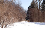
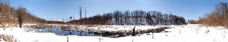
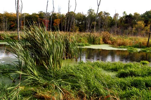
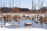
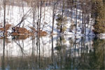
Along the way we pass by Crescent Street which is the crescent attached to Poplar Avenue (E). This area is popular with the local children as they set up ramps and jumps for their bicycles. The river valley opens into a broad area (F) with trees and a large marsh where the creek wanders through the land. A beaver has dammed a section of the creek (G) and the water collects and is enjoyed by all manor of ducks, geese and other wildlife. Besides signs of the beaver I have also seen a ferret type creature out hunting in the area.
Just upstream of the beaver dam, early fall 2008.
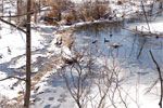
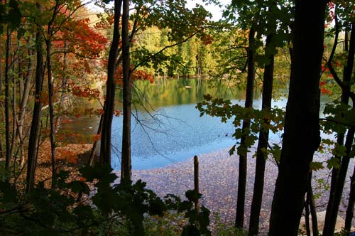
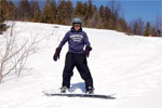
Further to the south we hit one of my favourite areas - Frog Pond (H), as named on a large rock which sits beside the waters. An old beaver house sits unused on the south edge. Besides the main trail (large red line) there are many side trails that criss cross the area, one circles Frog Pond and you can cross to the east trail. Walking past Frog Pond, which empties into the Black Creek, you pass through an elevated portion of the path adjacent to a small pond (I) and beside the Black Creek Valley as the underground sewer also continues it's journey south. The bend in the trail which brings you along the fence of the sewage treatment plant (K) faces a steep hill (J) where some snowboarders were practicing their cuts and turns.
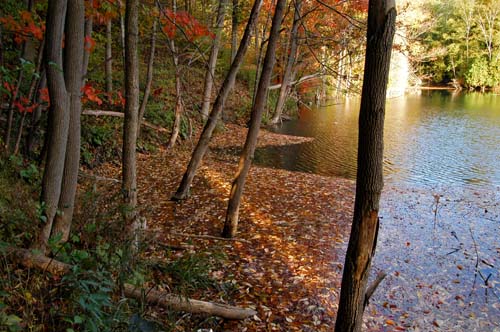
Frog pond is a lot more inviting in the fall time.
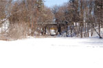
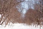
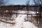
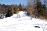
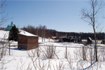
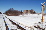
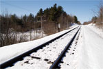
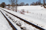
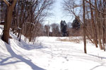
Following the treatment plants fence eastward you come to the CN railway main line (USE CAUTION ALONG ALL RAILWAY AREAS - AND DO NOT TRESPASS ON CN PROPERTY) and a crossing point (L) where you can head up to Churchill Road South (M) or you could stay on the west side of the tracks and continue on nature trail returning north (N). The grounds are hilly and natural depressions trap water in a few ponds (like at N). There are trails off the railway right of way but in winter very few people use this part unless snowmobiles or ATVs have made a walkable path.
Sir Donald Mann Park (O) on the east side of the railway line is a great place to bring the family on tobagan and slide rides down a fantastic hill. You can enter off the crescent off of Longfield Road. Across from the park you can find more side trails (P) heading into the treed area as well as the start of the old spur line that cuts towards the old Beardmore Factory property.
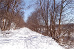
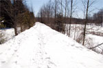
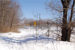
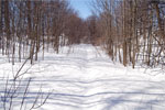
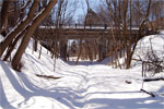
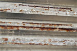
Between the roads, including Poplar Avenue the railway bed lies below the adjacent properties - similar to a dried up creek bed. You can take an exit path that leads out to Eastern Avenue (Q) and the Olde Hide House. The path through the old spur line is not maintained in any reasonable fashion and fallen trees litter the pathway and you follow new trails made to weave in amongst the trees. This area really should become a proper path and maintained for all to use! Following the path as it starts to head westerly you come upon a bridge over a railway that no longer exists (R). The bridge itself is not well maintained and spalling concrete falls to the ground and instead of repairs the Town of Halton Hills has merely placed a temporary barrier (at one side) so be careful in this area. Just past the bridge is a flat open area that, I believe, used to be an outdoor arena owned by the Beardmore factory which, like the factory, has long since been demolished.
Please note that while I and many others have continued to use the trails I am unaware of who owns most of the property in question. It is not signed as private property and a significant portion of the trail is along a public sewer easement. I would think that the old spur line could and should be owned by the Town of Halton Hills. Please behave responsibly and enjoy what nature and man have provided. If you want to help you can write to the Town of Halton Hills and ask that they look into supporting this great system of trails. |
Current
page hit count
thanks for dropping by!